Sarpass Trek, Himachal Pradesh
Overview:
The Sarpass Trek is a popular trekking route in the Indian state of Himachal Pradesh, located in the beautiful and scenic Parvati Valley. This trek is considered to be one of the most challenging treks in the region due to its high altitude, steep ascents and descents, and unpredictable weather conditions.
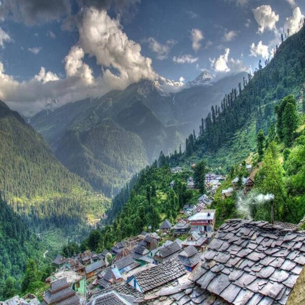
The trek starts from the picturesque village of Kasol and takes you through dense forests, beautiful meadows, and high-altitude snow-covered passes. The highest point of the trek is the Sar Pass, which is located at an altitude of 13,800 feet above sea level.
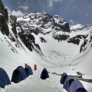
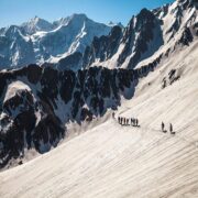
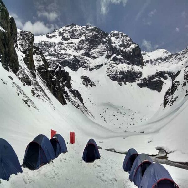
The trek offers stunning views of the snow-covered peaks of the Himalayas, including the majestic peaks of Tosh Glacier, Indrasan, and Deo Tibba. The trail is also dotted with beautiful waterfalls, streams, and alpine lakes, adding to the scenic beauty of the trek.
The Sarpass Trek is usually completed in 6-7 days and requires a moderate to high level of fitness. It is recommended to undertake this trek with a professional trekking company, as the terrain can be challenging and requires proper equipment and experience.
Overall, the Sarpass Trek is a must-do for adventure enthusiasts and nature lovers who are looking to explore the beautiful landscape of the Himalayas.
Included/Exclude:
- Alpine tent stay
- Porter & support staff
- IMF qualified guide
- All meals from day to Day 5 Lunch
- Transportation from Base camp to Base camp
- Medical backup
- Sleeping bag
- Permits
- ravel insurance (Can be added with just Rs. 200/-)
- Jackets, Trousers, Trekking shoes and walking polls.
- Cost Risen due to rescue, evacuation, hospitalization, etc.
- Any change in the itinerary, stay on account of flight/train cancellation due to bad weather, ill health and road block etc... Factors which are beyond our control.
- Mules or porters to carry personal baggage.
- Any other expense not mentioned in the “Inclusions” column.
Tour Amenities:
Tour Plan:
- Trek distance: 9 km
- Trek time: 5-6 hours
- Altitude gained: 1,200 ft
- Starting point: Kasol (5,118 ft)
- Ending point: Grahan (7,056 ft)
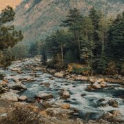
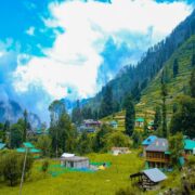
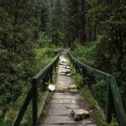
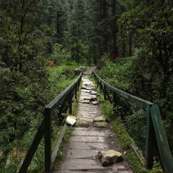
The trek starts from Kasol and the trail passes through dense forests of oak, pine and rhododendron. The trek is mostly uphill, with a few steep climbs. You will cross a few streams and waterfalls on the way. After reaching Grahan, explore the village and interact with the locals.
- Trek distance: 8 km
- Trek time: 4-5 hours
- Altitude gained: 2,000 ft
- Starting point: Grahan (7,056 ft)
- Ending point: Min Thach (9,840 ft)
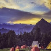
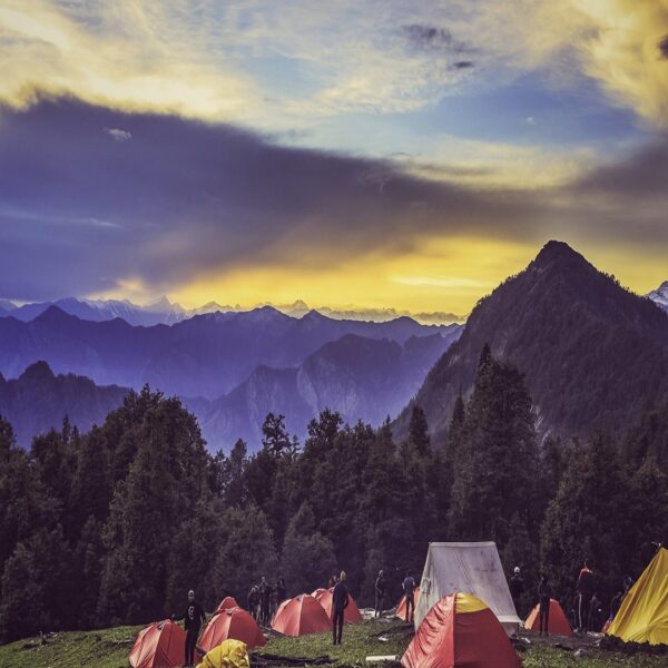
The trek from Grahan to Min Thach takes you through dense forests and beautiful meadows. You will cross the Balganga river and pass through the picturesque village of Ming Thach. The campsite for the night is located at the edge of the forest.
- Meal: All
- Trek distance: 5 km
- Trek time: 4-5 hours
- Altitude gained: 1,500 ft
- Starting point: Min Thach (9,840 ft)
- Ending point: Nagaru (11,151 ft)
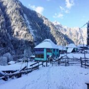
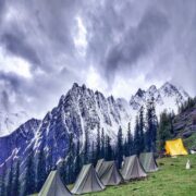
This is a short but steep climb through the snow-covered trail to Nagaru. You will get stunning views of the surrounding mountains, including the peaks of Kullu Makalu, Manali, and Hanuman Tibba. The campsite is located on a ridge, and it can get very windy and cold at night.
- Meal: All
- Trek distance: 13 km
- Trek time: 8-9 hours
- Altitude gained: 1,650 ft (to Sar Pass), 3,000 ft (descent)
- Starting point: Nagaru (11,151 ft)
- Ending point: Biskeri Thach (11,800 ft)
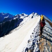
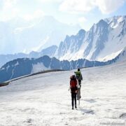
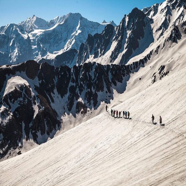
This is the most challenging day of the trek, as you will cross the Sar Pass, which is located at an altitude of 13,800 ft. The trail is steep and slippery, and you will need to use your trekking poles and crampons for the ascent. After crossing the pass, you will descend to the campsite at Biskeri Thach.
- Meal: All

- Trek distance: 10 km
- Trek time: 4-5 hours
- Altitude gained: 1,500 ft (descent)
- Starting point: Biskeri Thach (11,800 ft)
- Ending point: Barshaini (6,700 ft)
The final day of the trek is mostly downhill, and you will pass through dense forests and beautiful meadows. You will cross a few streams and waterfalls on the way. The trek ends at Barshaini, from where you can take a taxi or bus to reach Bhuntar or Kasol.
- Meal: Breakfast & lunch
- Note: This itinerary is just an example and can be customized as per your preferences and the weather conditions.
Location
Find a route from your location
Related Tours
- Quality5
- Location5
- Amenities5
- Services5
- Price5
Friendship Peak Expedition (5289m)
- Quality5
- Location5
- Amenities5
- Services5
- Price5







5
Thank you for being such a fantastic mentor and for your constant support and guidance⛰️🙌
I had excellent experience of Mount Friendship expedition. It was my first mount expedition and its was wonderful experience with my team and mentor. I have lost of new skills, training, new technic,which types of problem come and solved esay way to teaching a Kamal Negi Sir.
I would strongly recommend this company for any tours&tracking. Me and my team thank you so much Kamal Negi sir and him team.🙌
4.6
It was a great experience. Keep in mind that this is a moderate trek, not easy. The guides were very supportive and trustworthy, and helped make this trek fun. A definite must-go.